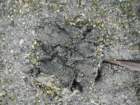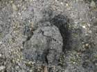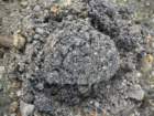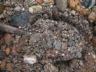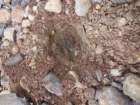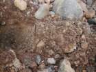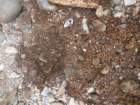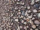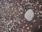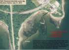
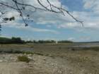
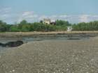
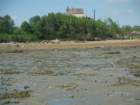
On July 21, 2013, Friends of Penobscot Bay did two digs in the intertidal flats adjacent to GAC Chemical's shoreline waste dumps, and its abandoned factory and tank. This first dig went from a ledge in the cove to the upper gravel beach beneath the factory. See map. Note changes in color and biodiversity of the mud.

gacshore_072113_00_map_capt_small.jpg gacshore_072113_01_small.jpg gacshore_072113_01a_small.jpg gacshore_072113_01b_sandbar_1_small.jpg gacshore_072113_03_dig_00_small.jpg gacshore_072113_03_dig_1_small.jpg
gacshore_072113_03_dig_2_small.jpg gacshore_072113_03_dig_3_small.jpg gacshore_072113_03_dig_4_small.jpg gacshore_072113_03_dig_5_small.jpg gacshore_072113_03_dig_6_small.jpg gacshore_072113_03_dig_7_small.jpg
gacshore_072113_03_dig_8_small.jpg gacshore_072113_03_dig_9_small.jpg gacshore_072113_03_dig_10_small.jpg gacshore_072113_03_dig_11_small.jpg gacshore_072113_03_dig_12_small.jpg gacshore_072113_03_dig_13_small.jpg
gacshore_072113_03_dig_14_small.jpg gacshore_072113_03_dig_15_small.jpg gacshore_072113_03_dig_16_small.jpg gacshore_072113_03_dig_17_small.jpg gacshore_072113_03_dig_18_small.jpg gacshore_072113_03_dig_19_small.jpg

Photo album created with Web Album Generator